Future Agriculture Via Intelligent Irrigation

Current irrigation technology is immature. Irrigation systems typically apply the same amount of water across farmlands independent of the soil type and current water/moisture content. Irrigation zones should be intelligently designed based on soil nature and the rate it dries out. This research activity aims to develop a technology that facilitates efficient megafarm irrigation.
Approach: 3D Soil Subsurface Image Creation
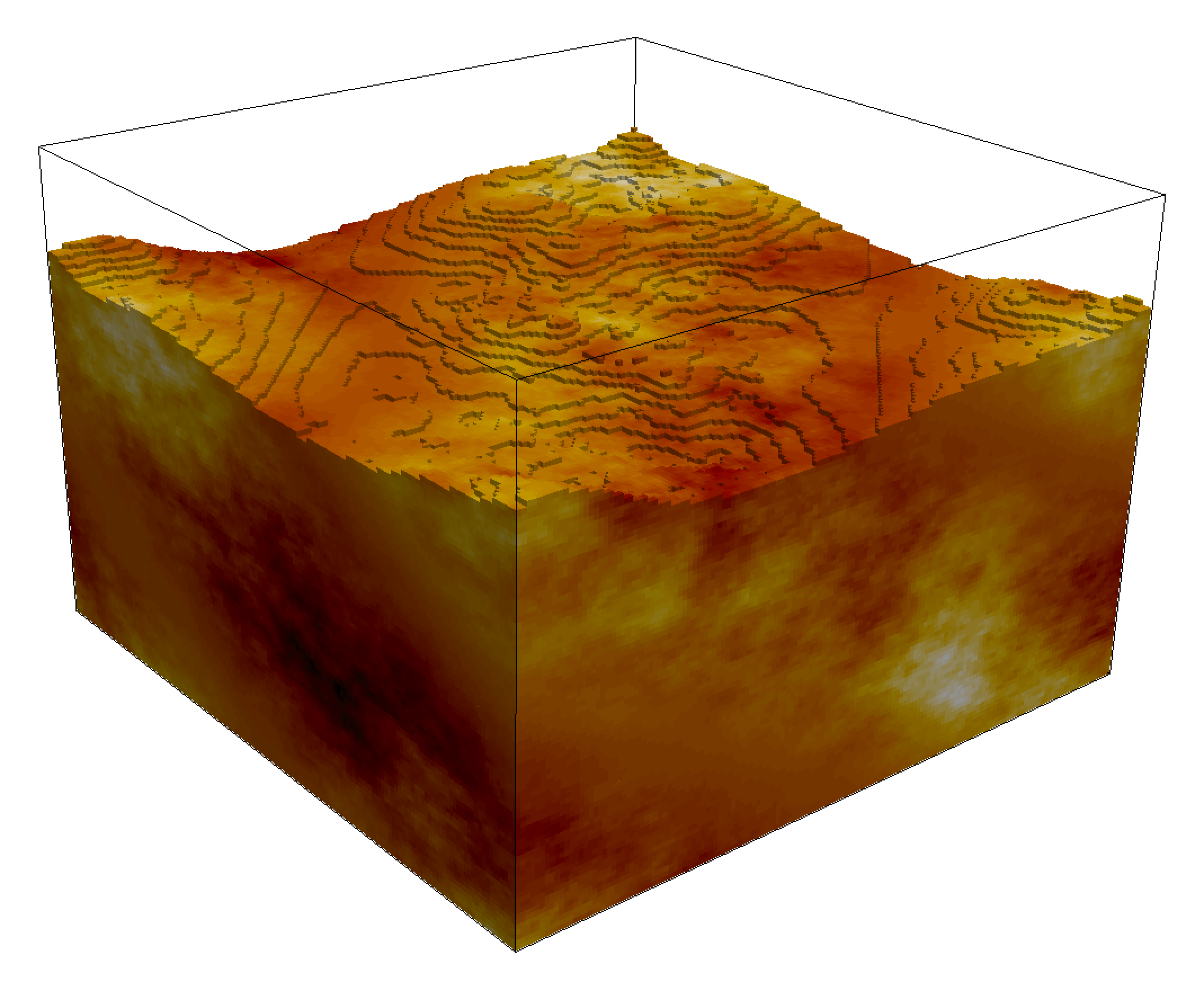
It redesigns a radar that integrates with drones, and equips it with Artificial Intelligent (AI) for soil subsurface 3D image creation and root-zone moisture classification. Farm irrigation designers will use the classification to optimally allocate irrigation equipment and water resources to different portions of the megafarm. The technology will be low-cost and create a high-speed 3D soil moisture map. The radar signal waveform design, processing, and AI algorithms are investigated.

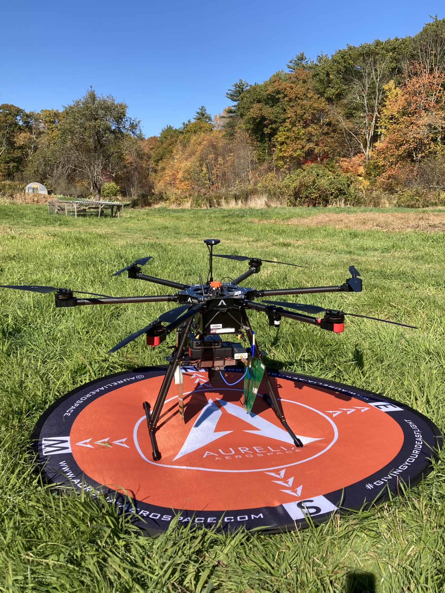
Tool: A GPR-Equipped Drone

We developed a ground penetration radar (GPR) and installed it a drone to enable farm measurements. Measurements have been conducted in situ-lab with controlled soil temperature and moisture at WPI SoilX Lab. The measurements are also conducted at farmlands. The proposed technologies will impact the US environment, economy, science, and farming. In collaboration with farmers and irrigation companies, we will assess the impact of developed technologies on irrigation and water management
Approach: Converting GPR Signals To Subsurface image Via Machine Learning
The developed Radar installed on the drone will be intelligent. It converts the Radar received signals into 3D moisture and texture maps via machine-learning. The output of the machine learning analysis can be visualized as the cross-sections or 3D models of the subsurface, enabling better understanding of soil layers, voids, utilities, and potential hazards. The implementation of Machine Learning models require a large number of data. The data is collected in the SoilX lab, in the farm. In order to develop better ML models we also generate synthetic data using gprMax software.

Labeled Data Via SoilX Lab Measurments
Supervised machine learning requires a substantial amount of labeled data for accurate predictions. To address this need, an in situ laboratory was established for field measurements at the Worcester Polytechnic Institute (WPI). This lab facilitates the quick collection and analysis of data needed for our research. We have created an open space lab at WPI grounds to facilitate GPR measurements. The area has been created by excavating a 30 x 20 x 3 ft area and replacing it with a good soil.


Labeled Data Generation Via Farm Measurement
Synthetic Labeled Data Generation

